What is the Intracoastal Waterway (and Where Does it Run)?
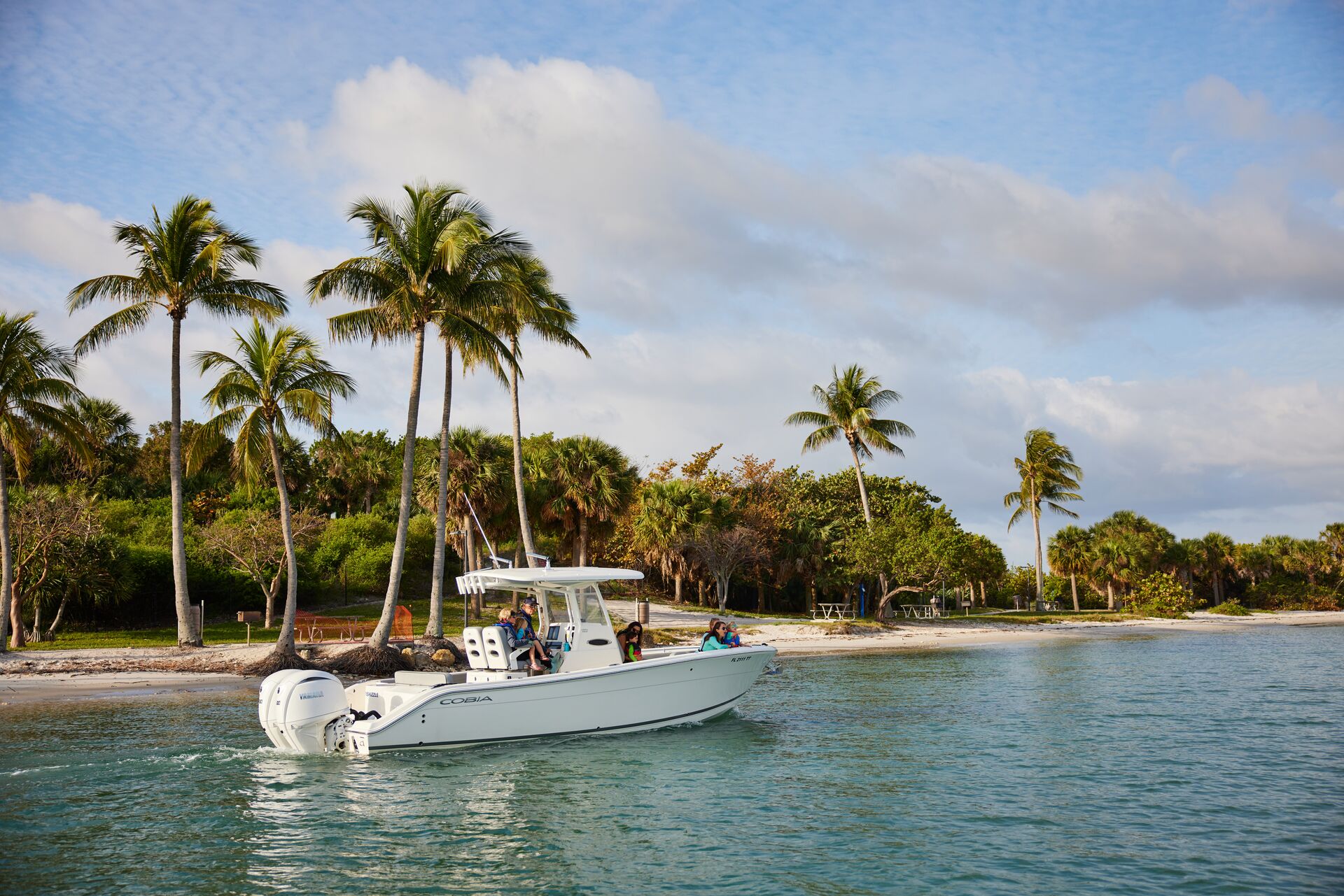
If you're planning a boating adventure, the route you take to your destination can make a big difference in the speed of your journey and the experiences you have along the way. Among the most-traveled areas in the US is the Intracoastal Waterway, which offers boaters excellent opportunities to explore the east and southeast coasts.
Here's what you need to know about this unique waterway, so you can plan your trip, file a float plan, and make memories with your loved ones.
What Is the Intracoastal Waterway (ICW)?
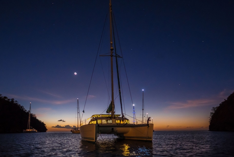
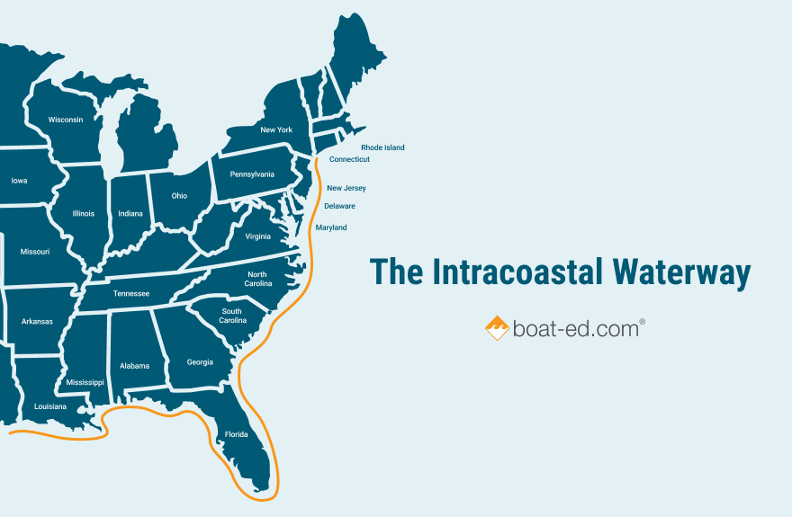
The Intracoastal Waterway (ICW) is a 3,000-mile inland waterway system that stretches along the Atlantic and Gulf coasts of the United States. It's a mix of waterways, including natural inlets, bays, rivers, and human-made canals.
The ICW is a popular boating destination because it offers a comfortable, established route for commercial as well as recreational vessels. By traveling the ICW, you can avoid the hazards of open ocean travel.
What States Does the Intracoastal Waterway Go Through?
There are two main boating ICW routes: the Atlantic and the Gulf.
- The Atlantic ICW travels through Virginia, North Carolina, South Carolina, Georgia, and Florida.
- The Gulf ICW runs through Florida, Alabama, Mississippi, Louisiana, and Texas.
If you're interested in traveling the ICW, you should know that it's not continuous across all coasts: there are gaps in the Northeast and the Florida Panhandle. In these locations, you may need to use a trailer to move a boat from one location to another or take an alternative method of transportation for a short period.
Can Any Boat Use the ICW?
ICW boating is open to both recreational and commercial vessels, but not every boat is permitted to use it.
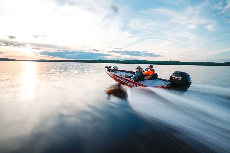
Typically, sailboats, trawlers, yachts, and barges traverse this waterway system. The ICW has an average water depth of 12 feet—but some areas are more shallow, and larger ships won't be able to pass through them.
There are also low-bridge clearances in some areas that limit taller sailboat masts. If you have a small boat, such as a kayak or skiff, you're allowed to use the ICW. But you should exercise caution at all times and remain aware of the presence and location of larger vessels.
Carefully following the right-of-way rules for any waterways you're exploring can help keep you and other boaters safe and make the trip more enjoyable for everyone.
How Long Does It Take To Travel the Intracoastal Waterway?
The entire length of the Intracoastal Waterway is 3,000 miles, with an average cruising speed of 5–7 knots for recreational boats. This allows for a leisurely exploration of scenic areas. The complete ICW journey from Virginia to Texas typically takes 5–8 weeks if you move steadily.
One of the most popular seasonal trips is from Norfolk, Virginia, to Miami, Florida, which typically takes around 3–4 weeks. The overall timing of your trip will depend on weather, bridge openings, available daylight hours, and the number and length of any stops you make.
Intracoastal Waterway Navigation Tips and Challenges
If you're interested in exploring the ICW, consider some essential navigation tips and noteworthy challenges related to the waterway.
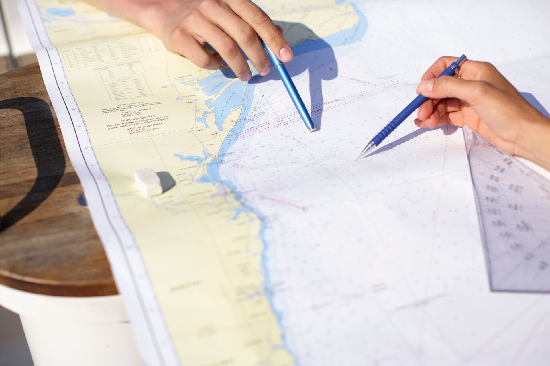
- First, be sure to carry navigational charts and know how to read them. You should have the latest charts in paper and digital formats, if possible.
- Remember the "red light returning" rule for keeping red markers and buoys on your right side, and be mindful of the ICW's unique buoy system.
- Note the scheduled openings, delays, and clearance heights of the bridges along your route, so you can plan accordingly and avoid any disruptions to your trip.
- Shoaling is common along the ICW, and the water depth can vary. Check recent US Army Corps of Engineers surveys for information on water-depth issues and adjust accordingly. You can also use a water depth app for added safety.
- You'll encounter a mix of barges, tugs, fishing boats, and recreational cruisers on the ICW, so prepare for a certain amount of boat traffic.
- Currents and tides will also affect your navigation along the ICW. Intense tidal swings may significantly impact your plans, particularly in Georgia and South Carolina.
- You may encounter other weather challenges you won't see on an Intracoastal Waterway map, such as thunderstorms and even hurricanes, depending on the time of year.
Put safety first and plan ahead, and you'll have a safe and enjoyable trip along the ICW.
How To Stay Safe When ICW Boating
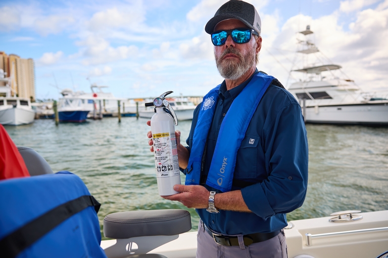
To protect yourself when boating on the Intracoastal Waterway, be sure to file a float plan and check the weather daily along your route. Bring proper boat safety equipment, including life jackets, navigation lights, and a first aid kit.
Maintain safe speeds in no-wake zones and areas designated for manatee protection, and keep your VHF marine radio tuned to channel 16 for updates and emergency information.
As you travel, stay alert for shoals, unlit markers, and fast-moving commercial vessels. Avoid boating in the ICW after dark, as many sections lack adequate lighting. Additionally, respect wildlife and protected areas to ensure other boaters and adventurers can enjoy the ICW for the long term.

Before Boating the ICW, Take a Boat Education Course
Before heading out to the ICW or other waterways, take time to complete a boat education course. Boater education can help you stay safe on the water, boat with confidence, and respect natural habitats along this spectacular waterway and throughout your journeys.
Plus, most states require boat operators to pass a boater safety course before taking the helm.
So, as you plan your ICW trip this season, start with Boat-Ed and a boater education course to ensure you can complete the course legally and safely!
Frequently Asked Questions (FAQs)
We have answers to your questions about the Intracoastal Waterway!